


The agricultural landscape of India, often referred to as the backbone of the country, is going through a massive transformation. Even in this digital age, where data and technology have become an integral part of our lives, the agrarian sector is not lagging behind. Geospatial technology, a powerful tool that is revolutionizing the future of Indian agriculture, lies at the heart of this change.
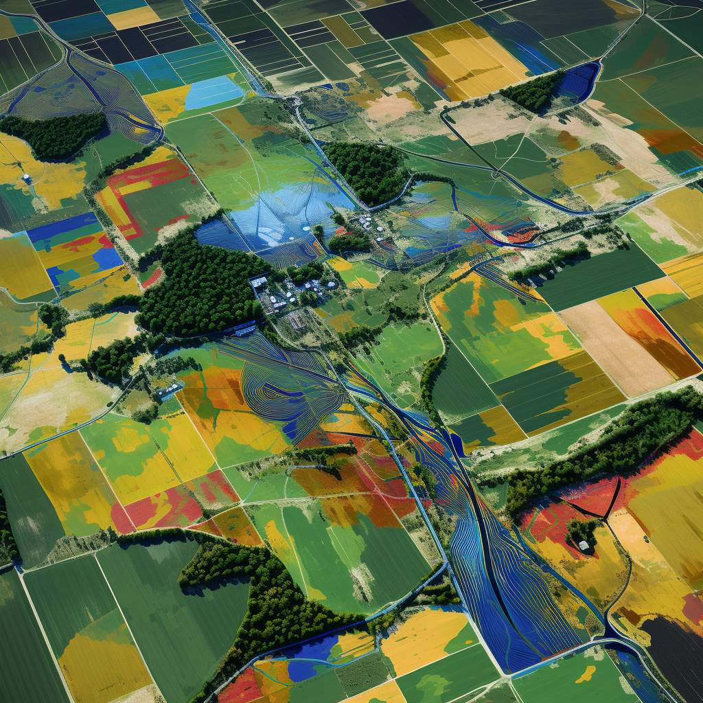
Geospatial technology, which includes satellite- and drone-based solutions, is ushering in a new era of precision farming. It plays a crucial role in agriculture by providing a wide range of benefits that empower farmers and take agricultural techniques to new heights.
One of the key advantages of geospatial technology is its ability to provide real-time data on important factors such as crop health, soil conditions, and weather patterns. This knowledge allows Indian farmers to make informed decisions that directly impact their agricultural production and financial security. Geospatial technology-based scientific advice serves as a valuable tool for farmers as they navigate the complexities of modern agriculture.
The impact of geospatial technology on Indian agriculture cannot be overstated. It gives farmers access to real-time data from satellites and drones, providing crucial information about crop health, soil conditions, and weather patterns. Armed with this information, farmers can make scientifically-based decisions that enhance agricultural yields and ensure financial stability. Geospatial technology is not just a tool; it is a game-changer for Indian agriculture.
Small-scale farmers, who constitute the majority of India’s farming population and typically own plots between one and three hectares, face unique challenges that traditional farming methods often fail to address. However, agritech start-ups are bringing hope to these farmers. These innovative companies combine conventional farming practices with cutting-edge technology, offering solutions tailored to the specific needs of small-scale farmers.
Agritech firms are bridging the gap between traditional methods and modern technology, enabling even the smallest landowners to benefit from geospatial breakthroughs. They are actively shaping the future of small-scale farming in India, providing more than just off-the-shelf solutions.
In a world where technology permeates every aspect of our lives, geospatial technology is taking center stage as the foundation for the transformation of Indian agriculture. It equips farmers with invaluable data-driven insights that allow them to significantly improve their farming techniques and thrive in the face of climate change challenges.
Agritech businesses play a crucial role in this digital transformation by ensuring that every Indian farmer, regardless of the size of their land, can seize the limitless opportunities offered by geospatial technology.
Geospatial technology has had a profound impact on Indian agriculture. It provides farmers with real-time data from satellites and drones, offering crucial information about crop health, soil conditions, and weather patterns. With this information, farmers can make informed decisions that boost agricultural yields and ensure financial security. Geospatial technology is not just a tool; it is a game-changer for Indian agriculture.
Disclaimer: The views expressed in this article are the author’s own. Geospatial World may or may not endorse them.
+ There are no comments
Add yours